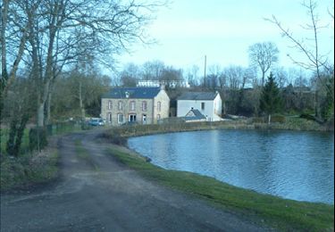
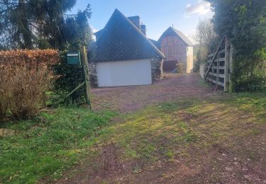
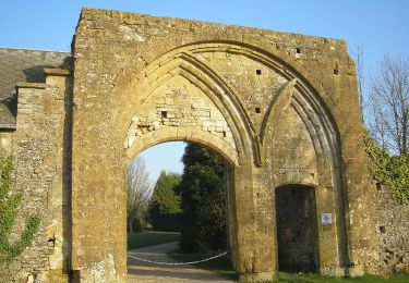
4,8 km | 6,7 km-effort
Plessis/Campandré/Culey
Mawel14
Utilisateur
Longueur
26 km
Altitude max
338 m
Dénivelé positif
653 m
Km-Effort
34 km
Altitude min
83 m
Dénivelé négatif
653 m
Boucle
Oui
Date de création :
2014-12-10 00:00:00.0
Dernière modification :
2014-12-10 00:00:00.0
2h00
Difficulté : Difficile
Application GPS de randonnée GRATUITE
À propos
Randonnée V.T.T. de 26 km à découvrir à Normandie, Calvados, Les Monts d'Aunay. Cette randonnée est proposée par Mawel14.
Localisation
Pays :
France
Région :
Normandie
Département/Province :
Calvados
Commune :
Les Monts d'Aunay
Localité :
Le Plessis-Grimoult
Départ:(Dec)
Départ:(UTM)
674976 ; 5425884 (30U) N.
Commentaires
Randonnées à proximité
mt pincon trois monts
Marche
Difficile
Les Monts d'Aunay,
Normandie,
Calvados,
France
29 km | 36 km-effort
6h 0min
Non
2022-02-25 balade nous samy danvou la ferrière gîte
Marche
Facile
Les Monts d'Aunay,
Normandie,
Calvados,
France
5,3 km | 6,6 km-effort
1h 29min
Oui
Le Mont Pinçon
A pied
Facile
Les Monts d'Aunay,
Normandie,
Calvados,
France
8,2 km | 10,2 km-effort
2h 18min
Oui
ROUCAMPS 2
Marche
Difficile
Les Monts d'Aunay,
Normandie,
Calvados,
France
8,7 km | 11,2 km-effort
2h 52min
Oui
Vers la "Fosse aux Renards"
A pied
Facile
La Villette,
Normandie,
Calvados,
France
4,5 km | 6,3 km-effort
1h 25min
Oui
Chemins Creux C
A pied
Facile
Périgny,
Normandie,
Calvados,
France
4,2 km | 5,1 km-effort
1h 10min
Oui
Chemins Creux D
A pied
Facile
Condé-en-Normandie,
Normandie,
Calvados,
France
6,9 km | 8,6 km-effort
1h 56min
Oui